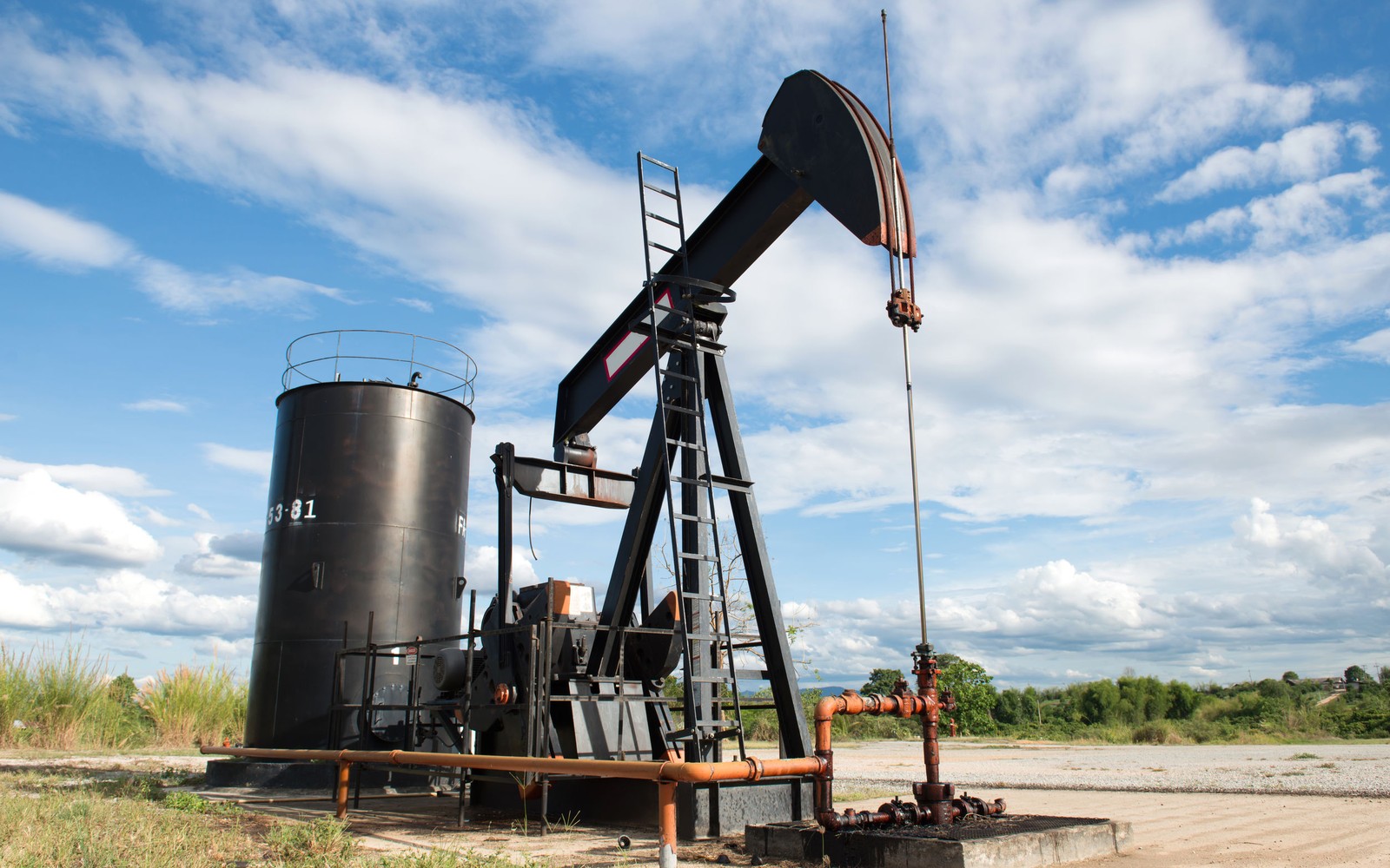
Powder River Basin Mineral Rights
This basin has lived through two very different development eras, and knowing which one your minerals belong to changes the whole conversation.
Wyoming and Montana's Powder River Basin, centered on Campbell, Converse, and Johnson County in Wyoming with production reaching north into Montana, has a genuinely two-part history. The first era, through the 1990s and 2000s, was dominated by coalbed methane development. The second, more recent era has focused on horizontal drilling into deeper conventional and unconventional zones including the Niobrara and Mowry.
Both eras left mineral owners holding interests, and the two are priced very differently, so figuring out which one applies to your tract is the first thing we sort out.
Legacy Coalbed Methane Still Producing in Places
The Powder River Basin was one of the largest coalbed methane fields in the country during its development peak, with thousands of shallow wells producing gas from coal seams across Campbell and surrounding counties. Many of these wells are now mature or plugged, though some continue producing at low, steady rates. If your interest ties to this older CBM development, we value it on that basis, low decline, established history, modest but predictable checks.
Newer Horizontal Development Targets Deeper Zones
More recently, operators have applied horizontal drilling and modern completion techniques to deeper targets in the Powder River, particularly the Niobrara and Mowry shale intervals, chasing oil and liquids-rich production rather than the shallow dry gas of the CBM era. This newer development is still relatively early stage compared to basins like the Permian, and activity levels can vary significantly by specific area within the basin.
Two Different Ownership Situations Are Common
Because of this two-era history, it's not unusual for a family's mineral interest to include both an older, largely depleted CBM lease and a newer, undeveloped or recently developed horizontal unit on the same or adjacent acreage. If your paperwork shows multiple leases or wells with very different spud dates, that's this basin's layered history showing up in your file, and we sort through all of it before quoting.
Checking Current Activity Before Quoting Non-Producing Acreage
Given how much the Powder River's development focus has shifted over the decades, we always pull current Wyoming Oil and Gas Conservation Commission permit data for your specific township before valuing non-producing minerals, rather than assuming activity levels from either the CBM era or general basin reputation.
Federal and Checkerboard Land Patterns
Much of the Powder River Basin sits on a checkerboard pattern of alternating federal, state, and private land ownership, a legacy of 19th century railroad land grants across Wyoming. That patchwork means your minerals could be adjacent to a BLM-administered section on one side and privately held acreage on the other, which affects how a spacing unit gets assembled and how quickly an operator can move from permit to drilling. We check the specific land status around your tract as part of any non-producing valuation, since it directly bears on development timing.
Questions owners ask
Is my Powder River Basin interest coalbed methane or horizontal oil development?
Your division order and well records will show this. Older leases with wells from the 1990s and 2000s are typically CBM, while more recent horizontal wells targeting the Niobrara or Mowry represent the newer development era.
Are coalbed methane wells in the Powder River Basin still worth anything?
Producing CBM wells continue generating royalty at modest, steady rates, and that established production history has real value even though the basin's newer development has shifted toward horizontal oil targets.
How active is horizontal drilling in the Powder River Basin right now?
Activity varies significantly by specific area and remains earlier stage compared to basins like the Permian or Bakken. We check current permits in your township before valuing non-producing acreage.
Can I have both a CBM lease and a newer horizontal unit on the same land?
Yes, this is common in the Powder River Basin given its layered development history. We review all your paperwork to identify every lease and well tied to your ownership before making an offer.
Why does land ownership near my Powder River Basin minerals look so mixed?
Much of the basin follows a checkerboard pattern of alternating federal, state, and private ownership tied to historic railroad land grants. This affects how spacing units are assembled and can influence how quickly development moves forward.
Is Powder River Basin horizontal development mostly targeting oil or gas?
Most of the newer horizontal drilling here targets oil and liquids-rich production from the Niobrara and Mowry, a different focus than the shallow dry gas coalbed methane development from earlier decades.
How do you value a Powder River Basin tract with both old CBM wells and newer horizontal wells?
We evaluate each wellbore separately based on its own production history and remaining life, then combine that into a single offer that reflects the full picture of what your specific tract actually holds.
Are Powder River Basin royalty checks generally lower than in the Bakken or Permian?
Individual well economics vary by field and formation, so it's less about the basin name and more about your specific well's production history. We price your interest on its own documented numbers rather than a basin comparison.
Want this issue read against your own deed, statements, or offer?
County, legal description, producing status, operator, recent royalty statements, and any offer already received are enough to begin.
Request a Mineral ReviewCall 405-776-9324