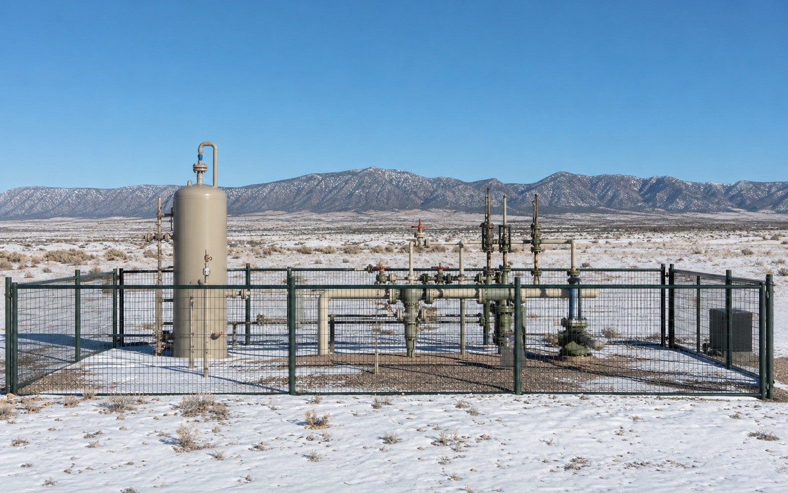
Piceance Basin Mineral Rights
The Piceance was one of the country's premier tight gas basins before economics shifted operator attention elsewhere, and that shift still shapes what your minerals are worth today.
Garfield, Rio Blanco, and Mesa County make up the core of Colorado's Piceance Basin, home to the Mesaverde tight gas sandstone that supported a major drilling boom through the 2000s and into the early 2010s. This is rugged, high-elevation country on Colorado's Western Slope, and the wells here needed extensive fracturing to produce economically from the tight, low-permeability rock.
If you're holding minerals in this basin, you're likely looking at production from a well drilled during that heavier development window, since new drilling activity has been considerably slower here for a number of years now.
Tight Gas Sandstone Behavior
The Mesaverde formation is a tight sandstone rather than shale, requiring significant hydraulic fracturing to produce at commercial rates. Wells here decline steadily but generally hold a long tail once past the initial drop, similar to other tight gas plays around the country. This is a dry gas basin with limited liquids in most areas, so your royalty check tracks natural gas pricing closely.
Activity Slowed Considerably From Peak Years
Rig counts in the Piceance dropped substantially after gas prices weakened in the early 2010s, and the basin never saw the kind of activity rebound that some other gas plays experienced. Operators have largely shifted focus to plays with better near-term economics, so new drilling in the Piceance today is much more limited than it was during the basin's most active years.
That means we price non-producing acreage here conservatively, reflecting the realistic likelihood of near-term development rather than the boom-era activity levels some owners still remember.
Producing Wells Continue on Long Decline Tails
Wells drilled during the core development period continue producing today, generally at modest, steady rates well into their decline curve. If you've held a Piceance interest for years and seen a consistent, if modest, monthly check, that's the tight gas decline pattern working exactly as expected, and it's a real asset we account for directly when quoting a producing interest.
Federal and Private Ownership Mix on Colorado's Western Slope
A significant portion of the Piceance sits on federal land managed by the Bureau of Land Management, mixed with private mineral ownership across Garfield and Rio Blanco County. If your interest sits within or near a federally administered unit, that can affect how royalty is calculated and how any future leasing decisions get made, and we sort through that ownership structure early when reviewing your specific tract.
Rugged terrain and elevation across much of the basin have also historically limited access to certain areas, which is part of why development here concentrated in specific corridors rather than spreading evenly across the whole basin.
Questions owners ask
Why isn't there much new drilling in the Piceance Basin anymore?
Gas prices weakened in the early 2010s and operators shifted capital to plays with better near-term economics. Activity here has remained limited since, though existing wells continue producing.
Is a producing Piceance Basin interest still worth selling?
Yes, established production with a long, documented history still generates value, even without active nearby drilling. We price these based on remaining reserves and decline behavior rather than speculative future development.
Does my Piceance Basin royalty include any oil revenue?
Generally no, this is primarily a dry gas basin with minimal liquids in most areas, so your check should reflect mostly natural gas revenue.
How do I know when my Piceance Basin well was drilled?
Your division order or the Colorado Oil and Gas Conservation Commission's records will show the spud date. Most core Piceance wells date to the 2000s through the early 2010s development boom.
Does federal land ownership near my tract affect my mineral interest?
It can, since a significant share of the Piceance sits on BLM-administered land mixed with private minerals. We review how your specific tract relates to any nearby federal unit before finalizing an offer.
Why do offers on Piceance Basin minerals seem more conservative than what I've heard about other basins?
Limited new drilling activity here compared to basins like the Permian means we price primarily on existing production and documented reserves rather than speculative near-term development, which produces a more conservative but honest number.
How rugged is access to wells in the Piceance Basin, and does that matter for royalty?
Elevation and terrain across parts of Garfield and Rio Blanco County have historically shaped where operators concentrated development, but it doesn't affect your royalty calculation once a well is producing and connected to gathering infrastructure.
Could the Piceance Basin see renewed drilling interest if gas prices rise significantly?
It's possible, since the tight gas reserves in this basin remain in place even where current economics don't support new drilling. We watch permitting trends and update our offers if activity in your specific area picks up.
How do I find out whether my Piceance Basin acreage is federal or private minerals?
Your deed or a title search through the county clerk will show this directly. If you're not sure, send us your legal description and we can help identify the ownership status before we discuss an offer.
Want this issue read against your own deed, statements, or offer?
County, legal description, producing status, operator, recent royalty statements, and any offer already received are enough to begin.
Request a Mineral ReviewCall 405-776-9324